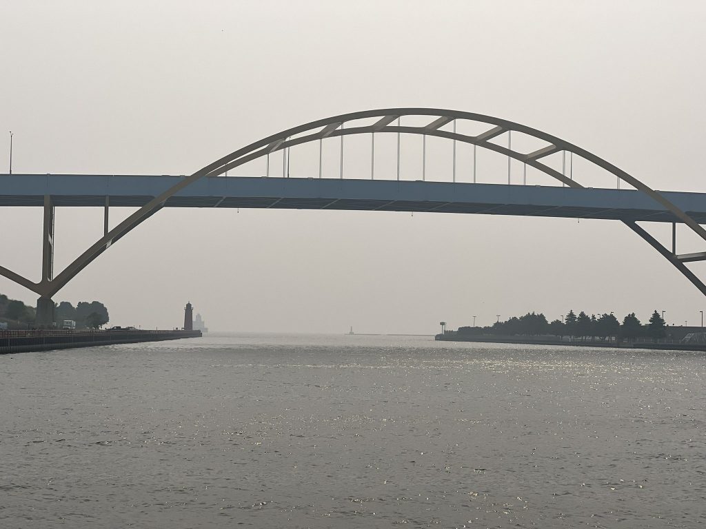
Milwaukee’s Air Quality Worst Among All Large Cities
Canadian wildfires blamed. Residents advised to limit outdoor activities.
Your eyes are not playing tricks on you. The air quality in Milwaukee today ranks as the world’s worst for large cities.
Polluted air from Canadian wildfires has blown into the Midwest, placing Milwaukee, Chicago, Minneapolis and Detroit alongside Dubai and Jakarta for the lowest quality air.
Milwaukee, according to the Wisconsin Department of Natural Resources (DNR) interactive map at the time of publication, has a reading of 232 on the air quality index (AQI), a measure of the concentration of various pollutants.
It’s a level government agencies label as “very unhealthy” and advise all groups to significantly cut back on outdoor physical activities and sensitive individuals to avoid all outdoor activities. The federal government’s Air Now partnership maintains a list of suggestions for how to protect yourself and what groups are most vulnerable.
The DNR is forecasting air quality to be worse on Wednesday, the last day for which it offers a forecast. The DNR, on Monday, predicted the worst period would be noon Tuesday through noon Wednesday.
IQAir, which relies on a larger network of monitoring stations than the DNR, says Milwaukee’s AQI level was 248 at the time of publication. That level would place Milwaukee atop IQAir’s list of “major cities,” but the Swiss company doesn’t include Milwaukee in that list. Its ranking of U.S. cities of any size places Milwaukee second, behind only Wilmette, IL (248) and ahead of Brookfield (239).
The DNR has issued a statewide air quality advisory for Wisconsin. An AQI level above 100 is considered unhealthy. Exceeding 300 is considered hazardous.
The most prevalent contaminant in Wisconsin’s air currently is PM2.5 fine particulate matter. A KN95 mask, popularized during the COVID-19 pandemic, is rated to filter out 95% of PM2.5 matter, which is less than 2.5 micrometers in diameter.
And despite the dropping visibility and climbing rating, Milwaukee’s level is still only a little more than half of what New York City experienced earlier this month. Levels there peaked at 405, with the problem also caused by Canadian wildfires.
According to the DNR, the highest reading in the Milwaukee area, 232, is being reported by a sensor at Interstate 94 and W. College. A monitoring station at Sixteenth Street Community Health Centers, 1032 S. Cesar E. Chavez Dr., is reporting a level of 223.
Stations in Waukesha, Ozaukee and Kenosha counties are reporting levels within the 190s. Several counties throughout Wisconsin are reporting levels between 160 and 180, though most counties do not have a monitor that reports data to the DNR.
If you think stories like this are important, become a member of Urban Milwaukee and help support real, independent journalism. Plus you get some cool added benefits.


