
Winter Storm Warning For Southern Wisconsin
Beginning Tuesday morning Milwaukee could get 6 to 10 inches of snow.
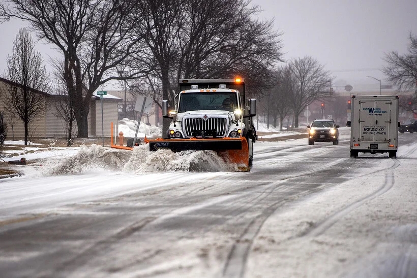
A plow removes snow from a street Wednesday, Feb. 22, 2023, in Janesville, Wis. Angela Major/WPR
A winter storm warning has been issued for much of southern and northeastern Wisconsin with places like Madison, Milwaukee and Green Bay expected to get between 6 and 10 inches of snow.
The National Weather Service expects snow to begin falling early Tuesday morning. By the afternoon, snowfall rates will increase to between 1 and 2 inches per hour.
The heaviest snow band is expected along a line between La Crosse and Door Counties and southward between Platteville and Janesville. Potentials for 8 inches of snow or more are strongest for the cities of Dodgeville, Madison and West Bend, with other areas within the band expected to get between 6 and 10 inches.
“We’ve seen some hints out of the models this morning that in southwestern Wisconsin, there could be totals up to a foot,” said National Weather Service Meteorologist Cameron Miller, who is based in Milwaukee. “So that’s what we’re working on with this afternoon forecast, is trying to figure out where those particular high totals are going to fall.”
Storm totals are expected to be lighter along the shores of Lake Michigan, said Miller, because Lake Michigan is “particularly warm” for this time of year.
Meteorologist Jeff Makowski of the National Weather Service Office in La Crosse said the storm is currently tracking through eastern Iowa, southern and eastern Wisconsin and northern Illinois.
“On the northern edge of that, there will be some drop-off in amounts,” Makowski said. “So that’s an area that has been somewhat lower confidence for the snowfall amounts.”
That means cities like Black River Falls, Wisconsin Rapids and Marshfield may get between 4 and 8 inches of snow. Areas to the north of that line are looking at totals of between 1 and 5 inches.
Meteorologist Timm Uhlmann of the Weather Service’s Green Bay office said winds are expected to shift Tuesday, bringing moisture from Lake Michigan inland. He said that means totals could be higher a few miles inland in places like the Fox Valley.
“The main thing is just to have a plan for the day if you’re driving somewhere Tuesday,” Uhlmann said. “You can probably get wherever you’re going in the morning pretty easily, but getting back home may be harder later in the day, because again, the bulk of the snow is coming in the afternoon to evening.”
Listen to the WPR report here.
Winter storm warnings issued for much of southern half of Wisconsin was originally published by Wisconsin Public Radio.