2022 Public Access Lands Atlas Now Available

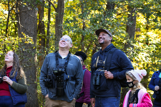
The DNR announced that the 2022 Public Access Lands Atlas is now available for sale. / Photo Credit: Wisconsin DNR
MADISON, Wis. – The Wisconsin Department of Natural Resources today announced the 2022 Public Access Lands Atlas is now available for sale.
From state natural areas to state trails, lakeshores to rivers, Wisconsin has a wealth of public lands for everyone to enjoy. Updated every two years, the Public Access Lands Atlas is available for purchase from the University of Wisconsin Bookstore for $89.95.
You can create your own online map, buy the 466-page atlas, download PDF maps and search for places based on outdoor activities. Download free county maps or launch the Public Access Lands Atlas online mapping application on the DNR website here.
Additional atlas information and maps are also available by:
- DVD ($5.95)
- Individual county booklets ($24.95)
- Downloaded county PDF maps (free)
- Public Access Land online mapping application (free)
Buy The 2020 Public Land Atlas Here
NOTE: This press release was submitted to Urban Milwaukee and was not written by an Urban Milwaukee writer. While it is believed to be reliable, Urban Milwaukee does not guarantee its accuracy or completeness.


