
Lake Michigan Sees Near-Record Warm Waters
All five Great Lakes are 4 to 5.5 degrees Fahrenheit above long-term average.
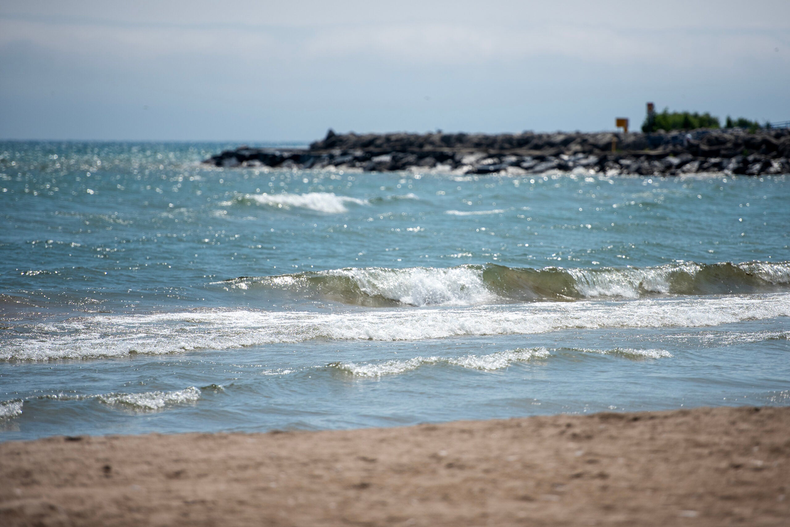
Waves lap up onto the Lake Michigan shore Wednesday, July 9, 2025, in Sheboygan, Wis. Angela Major/WPR
The Great Lakes are seeing near-record warm water temperatures right now, which means there’s a higher chance for lake effect snow when the weather turns cold.
As of Thursday, all five of the lakes were around 4 to 5.5 degrees Fahrenheit warmer than their long-term average for the last three decades. That’s according to data from the Great Lakes Environmental Research Lab operated by the National Oceanic and Atmospheric Administration, or NOAA.
WPR reached out to NOAA staff for an interview on the near-record warm waters, but responses have been delayed due to the government shutdown.The warmer surface water temperatures are part of a long-term trend of longer summers. That means the lakes are staying warmer in the fall before temperatures drop, said Eric Anderson, an associate professor at the Colorado School of Mines. Anderson previously worked as a physical scientist with NOAA’s Great Lakes lab for 12 years.
He said this time of year the lakes can experience the highest trends in terms of warmer surface waters.
“They’re just below, or just at, that 2021 record for water temperature,” Anderson said.
Preliminary data shows Lake Erie, the shallowest of the Great Lakes, may have surpassed the 2021 record for Thursday with surface water temperatures recorded at almost 66 degrees. Anderson said warm weather over the last six weeks has pushed temperatures on the lakes higher than their long-term average.
“It doesn’t always have to be a consistently warm year to end up this way in the fall. It can be a typical summer,” Anderson said. “You get the right weather in the fall, and especially for a shallow lake like Erie, it can be fairly easy to get that lake to heat up and break records.”
Lake Michigan currently has temperatures that are the highest above its long-term average at 62.6 degrees — roughly 5.5 degrees warmer than normal.
Even Lake Superior, the coldest and deepest of the lakes, is about 4.2 degrees warmer than normal at 54.6 degrees.
With warmer waters, Anderson said the lakes are primed to see a higher possibility of lake effect snow. Lake effect snow typically occurs when cold air from Canada moves across relatively warm open waters of the lakes.
“With those warm lake temperatures and a cold blast of dry air coming across the lakes, you would get a lot of that moisture picked up out of the lake, so a lot of evaporation up into the air,” Anderson said. “That’s likely to be dumped as lake effect snow in the region.”
During lake effect snow events, around 2 to 3 inches of snow or more may fall each hour.
With warmer waters this fall, it remains to be seen how that may affect ice cover on the lakes this winter. Anderson said the Great Lakes did eventually reach their long-term average for peak ice cover in the winter following record warm waters in the fall of 2021.“Even coming in this warm in the fall, you can still get significant ice if the weather goes in that direction, (and) you get a lot of cold air blasts and things to cool off the lake,” Anderson said.
“It’s hard to say right now how this will play out, but I would say these warmer falls are consistent with what we’ve been seeing,” Anderson continued. “And we tend to see that we have decreasing ice in the region and less winter days in the region too. It’ll be interesting to see which way this goes.”
NOAA’s winter outlook for December, January and February shows that most of Wisconsin is leaning toward colder than normal weather. A weak La Niña is expected to favor below normal temperatures throughout this winter. La Niña occurs when water temperatures are cooler than normal in the central and eastern tropical Pacific Ocean.
There’s an equal chance for above or below normal temperatures in the southern and eastern portion of the state. All of Wisconsin is slightly favored to be wetter than normal, which could mean a colder and snowier winter. It could also mean more mixed precipitation or freezing rain.
Great Lakes seeing near-record warm waters this fall was originally published by Wisconsin Public Radio.