
Milwaukee County’s Population Grew For First Time Since 2014
International immigration and birth rate are key drivers. But one neighbor outpacing state's largest county.
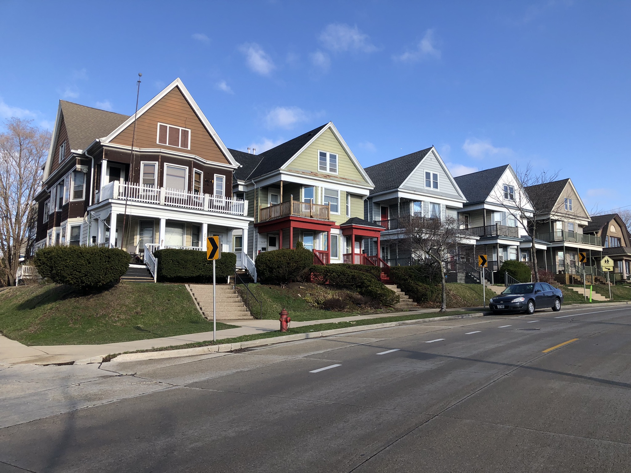
Houses on S. Howell Ave. in Bay View. Photo by Jeramey Jannene.
Milwaukee is growing.
According to a newly released estimate from the U.S. Census Bureau, Milwaukee County added 2,880 residents year over year and boosted its population to 924,780, a 0.31% increase. It’s the first time the county’s population has grown in a decade.
But despite the increase, Milwaukee County still trailed Wisconsin’s growth rate of 0.52% and is still below its April 1, 2020 population estimate of 939,486.
The last time Milwaukee County saw a year-over-year estimated increase was 2014, when its population climbed to 958,639. The peak estimate was 1.06 million in 1972. The peak decennial census count was 1.054 million in 1970.
Estimated population data on a city level will need to wait. The newly-released data is aggregated at the county level and isn’t broken out by city. The federal agency is expected to release city-level estimates in May.
Cities Grew in 2024
All 387 of the Census Bureau’s metropolitan areas saw population growth between 2023 and 2024.
“Increasingly, population growth in metro areas is being shaped by international migration,” said Kristie Wilder, a demographer in the Census Bureau’s Population Division, in a statement. “While births continue to contribute to overall growth, rising net international migration is offsetting the ongoing net domestic outmigration we see in many of these areas.”
But the Milwaukee-Waukesha-West Allis metropolitan area is still smaller than it was in 2020. Its April 1, 2020 population was estimated at 1,574,565 and had fallen to 1,563,631 by 2021. It recovered to 1,567,889 in 2023 and climbed again to 1,574,452 in 2024. The metropolitan area, according to the Census Bureau, includes Milwaukee, Waukesha, Washington and Ozaukee counties.
Wisconsin’s Winners and Losers
Waukesha County led southeastern Wisconsin with a 0.73% growth rate and is home to an estimated 417,029 residents.
Dane County, home to Madison, saw its population grow the second fastest of any Wisconsin county. A 1.48% increase leaves the county with an estimated 588,347 residents. It has approximately 10,000 more residents than it did in 2020.
Wisconsin’s fastest-growing county was Menominee County, with a 1.54% increase. But the county still has fewer than 5,000 residents.
Sixteen of the state’s 72 counties saw their populations shrink, though none by more than 0.82%. None are in southeastern Wisconsin. The largest county to lose population was Wood County in central Wisconsin. It has a population of 73,943.
Migration Places Key Role
The estimates are prepared using data on deaths, births and migrations.
Milwaukee County’s growth can be attributed births outpacing deaths and international migration. The year-over-year natural growth (births minus deaths) was 2,340. It also picked up 524 people via migration, with 6,128 international migrations and a loss of 5,604 domestic migrations.
Waukesha County’s data looks substantially different. Its natural change was only 42, but its migrations were 2,900. That includes 1,399 international migrations and 1,591 domestic migrations. Its growth from 2020 is entirely attributed to migration, with a -1,067 natural change loss.
Wisconsin as a whole saw a 2,040 resident natural change, but a 28,478 resident migration growth. Of the migrations, 22,146 were international. Since 2020, the state has gained only 74 residents via natural change, but 66,447 via migration (63,489 international).
If you think stories like this are important, become a member of Urban Milwaukee and help support real, independent journalism. Plus you get some cool added benefits.


Can someone explain why “the Milwaukee-Waukesha-West Allis metropolitan area” specifies West Allis as if it were it’s own county? Why not mention ‘Tosa? Why does it exclude Ozaukee County, as Mequon and points north are also really part of the metro area?
Milwaukee (577,222, 2020 Census), Waukesha (71,158) and West Allis (60,325) are the three most populous municipalities in the metropolitan area.
Thanks, DLEE1998: (In disbelief:) So this represents only the cities of MKE, Waukesha and West Allis? Rather than all of the 19 municipalities of Milwaukee County (which includes West Allis), and Waukesha County, so it is NOT the Metro area. This seems like an inaccurate geographic parameter. See definiition of SMSA from WikiFreedom (https://www.freedomgpt.com/wiki/standard-metropolitan-statistical-areas-smsas):
“An SMSA is a geographical region that is defined by the Office of Management and Budget (OMB) in the United States.
It includes one or more counties or equivalents and has at least one urban core area with a population of 50,000 or more people. The rest of the area may be rural or urbanized but does not meet the threshold for an urban core.
The OMB defines five types of SMSAs based on their size and density:
– Metropolitan Statistical Area (MSA): This is the largest type of SMSA and includes one central city and its surrounding county(s), as well as any additional adjacent counties that are contiguous and have a high degree of economic and social integration with the central city.
– Micropolitan Statistical Area (μSA): This type of SMSA includes one or more adjacent counties that are economically and socially integrated with each other and with the principal city within the MSA.
– Combined Statistical Area (CSA): This is a larger grouping than an SMSA that combines two or more MSAs, μSAs, or both into a single geographic entity. It represents a larger urbanized area with a combined population over 1 million people.
– New England City and Town Area (NECTA): This is a special classification used for New England states where traditional county boundaries do not exist. Instead, these areas are defined by town borders, making it difficult to define urban centers. Therefore, this classification uses a combination of metropolitan statistical areas and micropolitan statistical areas to define the region.”
So the measurements used within this article are somewhat inaccurate: The cities of MKE+ Wauk+ WAllis are a subset of, and are NOT equivalent to the Counties of MKE and Wauk. This detail should be mentioned by the reporter.
Mpbehar, The Census Bureau uses the 2-3 most populous municipalities in a metropolitan area to describe metropolitan areas rather than use county names. In the “Metropolitan and Micropolitan Statistical Areas Population Totals: 2020-2024,” https://www.census.gov/data/tables/time-series/demo/popest/2020s-total-metro-and-micro-statistical-areas.html, click and download the “Annual Estimates of the Resident Population for Metropolitan Statistical Areas in the United States and Puerto Rico: April 1, 2020 to July 1, 2024” Excel table to see the names the Census Bureau uses for listing recent year-to-year metropolitan area population changes.
The Census Bureau uses Chicago-Naperville-Elgin rather than Cook, DuPage and Kane counties to label the Chicago metropolitan area.