A Lovely Walk Along the Milwaukee River
Our last installment of Milwaukee Walks, from a newly published book with 35 walks exploring the city.
Distance: Two miles
Start: At the end of N. Riverboat Rd.
Parking: Along the road
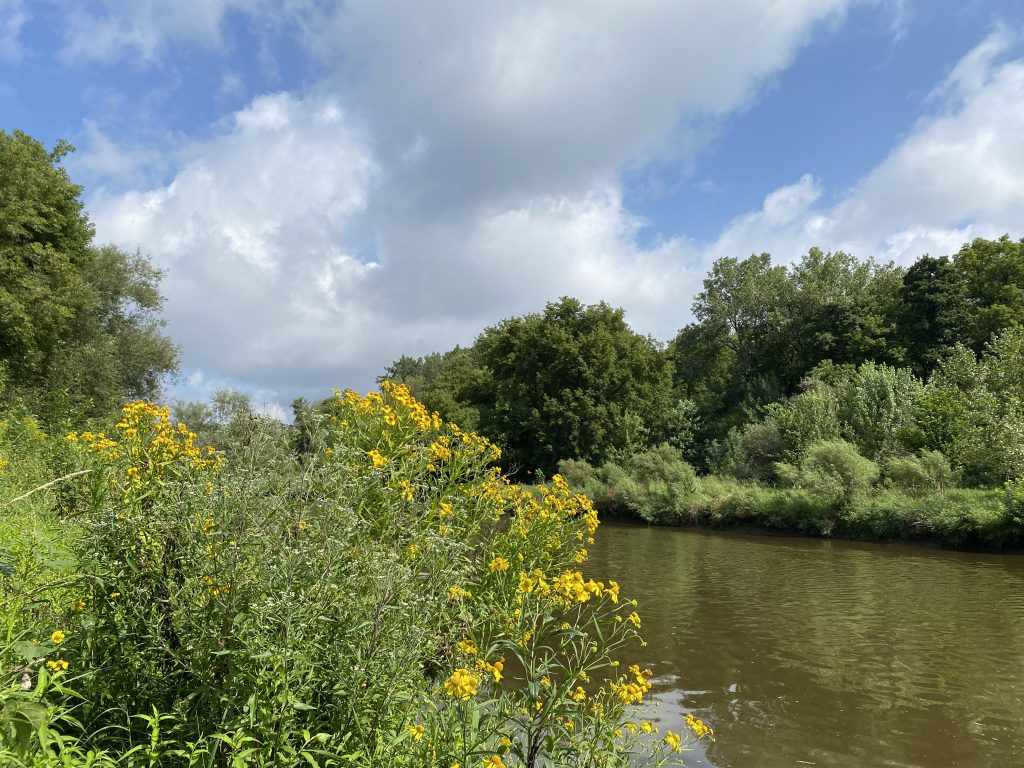
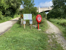
If a quiet saunter alongside the Milwaukee River sounds appealing, follow the trail that starts at the end of N. Riverboat Rd. Instead of taking the paved trail on the left, the Beerline Trail, take the gravel path to the right. It follows the river as you travel past the E. North Ave. overhead bridge to the E. Locust St. overhead bridge.
This section of the river bustled with activity in the mid-1800s through the turn of the century, when river ice was harvested and stored in cavernous ice houses. Hundreds of laborers worked the ice fields on the river for $1.00 a day, paid in cash, daily. Many of these workers were Polish immigrants living nearby in Riverwest and the Brady Street neighborhood.
This was a profitable business for Wisconsin Lakes Ice Company, founded in 1849 by a German immigrant John Kopmeier. He originally harvested inland lake ice, but after the North Avenue Dam created an impoundment on the river, river ice became a valuable source for Wisconsin Lakes Ice Company.
The ice needed to reach a minimum thickness of 18 inches before it could be harvested, a complex process. First, workers had to remove the snow from the ice to prepare it for the harvest. Then horses with spiked shoes were harnessed to ice plows that pulled outriggers with blades that dug grooves into the ice. After they made a checkerboard pattern with the blades, workers with poles directed the ice down channels. Horse-powered conveyors took it into ice houses, where it was packed in sawdust that kept it frozen for up to a year.
As the river became increasing polluted from sewage that flowed from the north, the ice harvest business began to decline, until 1923, when the last ice was taken from the river. By the mid-1940s, almost 100 percent of Milwaukee homes had upgraded to refrigerators and the home ice box was only a memory, as were the ice man and the ice houses.
When you get close to the Locust Street overhead bridge, look for another memory of those days: a remnant of the Gordon Park bathhouse. There is not much left from this structure built in 1914, just a concrete retaining wall and steps leading to a field that was once underwater. In its heyday, the bathhouse had 300 lockers for swimmers and a large area set aside for eating. Swimming in the river became popular thanks to its warm water, unlike Lake Michigan’s chill.
At the bathhouse, customers could rent a bathing suit, 25 cents for a female suit, and 15 cents for a male. Everyone age 12 and older had to wear a proper suit, housedresses were prohibited, white was not allowed, and a one-piece female suit had to include a skirt.
After the bacteria count in the river rose to an unsafe level for swimming, the bathhouse closed in 1937. In Lost Milwaukee, Carl Swanson wrote, “As the years went by, the swimming area would repeatedly close, from anywhere from a few days to a few weeks until the bacteria count dropped to a safe level. In 1931 a thick coat of sewage on the riverbed shot geysers of gas from the surface of the water and caused concern the swimming area might close for the entire summer. The sewage may have come from cottages upriver that flushed their waste into the river.”
Since Gordon Park was a popular swimming destination, the city built an in-ground pool and later replaced it with the small splash pool we see in the park today, a safer and cleaner alternative.
The Walk
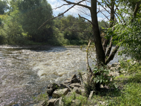
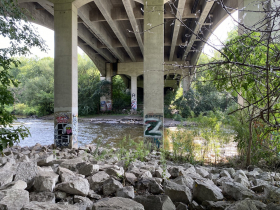
The walk starts at the end of N. Riverboat Rd. by the shed. Follow the gravel path under the bridge where the water runs fast, and, unlike its history of contamination, runs almost clear. Ignore the paved trail that leads uphill to your left. This is the Beerline Trail. Continue across an open field that was once underwater before the North Avenue Dam was removed. Just beyond the field, look for a trail on your left. Take it. It joins a higher trail that eventually takes you to the Locust Street bridge. If you miss this trail, you will come to an impassable jumble of downed trees, branches, and bushes. Retrace your steps; try again; it’s fairly obvious.
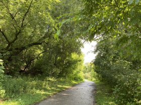
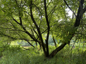
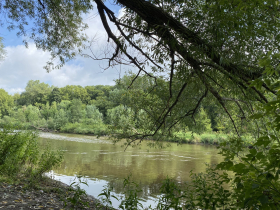
Now the path narrows with many ups and downs and, in spring, a bit of mud to dirty your shoes. There are also multiple places to sit close to the river, creating a respite amid a faux wilderness, in the middle of a city.
At Locust, look for the concrete foundation from the former Gordon Park bathhouse and concrete steps that lead to a grassy field, once underwater. Picture a beach by the banks of the river filled with families, picnicking and swimming, and children diving off a plank that reached out above the water.
Just before the bridge, follow the paved path. There’s a sharp left turn and a steep trail that will take you uphill to Gordon Park. Follow the bike trail across the park to join the Beerline Trail It will return you to where you started at the end of Riverboat Road.
If you prefer to remain close to the river, turn around by the Locust Street bridge and retrace your steps. This secluded riverside trail offers a refuge, a few moments of quiet in a place where only birdsongs and river riffles interrupt the silence.
Along the Walk
Milwaukee Walks, written by Cari Taylor-Carlson and published by HenschelHAUS, can be purchased at the Historic Milwaukee (235 E. Michigan) store, online at HenschelHAUS or at Amazon.
If you think stories like this are important, become a member of Urban Milwaukee and help support real, independent journalism. Plus you get some cool added benefits.
Milwaukee Walks
-
Kilbourntown Tour Offers Tons of History
 Oct 8th, 2023 by Cari Taylor-Carlson
-
Riverwest Is a Melting Pot
 Aug 25th, 2023 by Cari Taylor-Carlson
-
Layton Boulevard Has Overlooked History
 Jul 23rd, 2023 by Cari Taylor-Carlson




North end of N. Warren Av at E. Boyston is the stairway down to the River and Pedestrian bridge over the River, at Caesar’s Park . Access to the east bank trail before the pedestrian bridge, and the west bank trail over the bridge, both to the right (while facing NW). https://urbanmilwaukee.com/2022/05/16/milwaukee-walks-a-walk-thats-all-woods-and-water/
I really appreciate this story because this was part of the route I walked for a year during my Artservancy residency in 2021. There’s so much going on along that trail and as seasons changem the river can be quite beautiful and dramatic. Thank you.