View of Milwaukee,1856
This engraving offers remarkable detail about the quickly growing city just ten years after its incorporation.
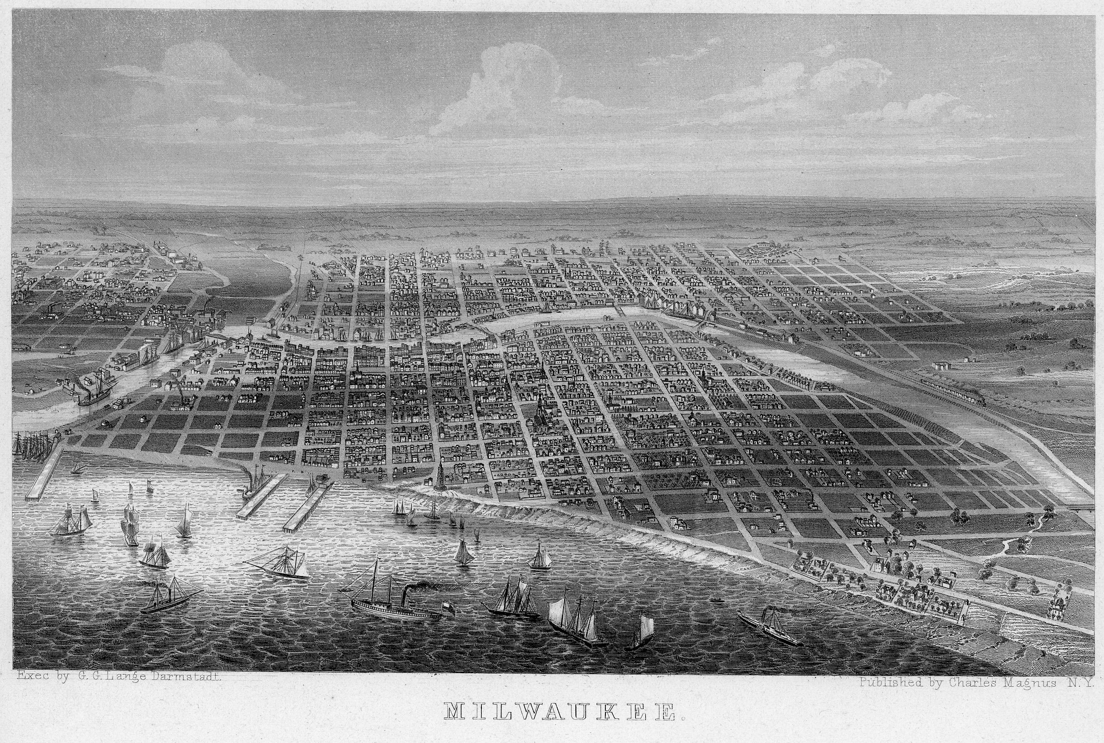
Milwaukee 1856. Image courtesy of Jeff Beutner.
While this is not a photograph of Milwaukee, it is a view of considerable interest as it dates from the 1850s. This engraving is from a lettersheet published by Charles Magnus of New York. Magnus produced similar views of northern U.S. and Canadian cities at that time. Magnus is known for those color lithographs, as well as song sheets, maps and patriotic illustrations for stationery. During the Civil War he also sold many illustrated envelope covers with patriotic themes. He also published such board games as “New Game of Snake,” “Comical Game of Pigs and Kittens,” and “Running the Blockade,” a Civil War game.
While the Magnus views can be tricky to date, this one is rather easy as the publisher was a bit, shall we say, light-fingered. This view is actually a copy of a much larger lithograph of Milwaukee created by James Palmatary in 1856. Palmatary was active in the 1850s and 1860s, when he was associated with the creation of some 20 views of eastern and midwestern American cities. His lithograph of Milwaukee is very rare and it’s probably nearly impossible to find one available for purchase. This then is the ‘poor man’s’ version. But it is very well done nonetheless.
And note the two large piers on Lake Michigan (also too big). These piers were used for shipping until harbor improvements were completed in 1857 which allowed larger boats to navigate the Milwaukee River. Boat traffic would dominate shipping at this time because of the Panic of 1857, a financial crash in which most of the fledgling railroads went bankrupt (which was a great financial opportunity for Alexander Mitchell), but that’s another story.
Altogether, Magnus produced about 1,000 varieties of printing, as compared to about 7,500 produced by the then most popular Currier and Ives. His published view of Milwaukee, whatever its origin, gives us a very good sense of what the city was like just a decade after its incorporation.
Jeff Beutner is a collector of photographs, postcards and stereoviews of old Milwaukee. This column features these images, with historical commentary by Beutner.
Yesterday's Milwaukee
-
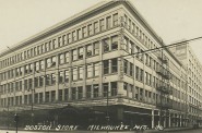
When Boston Store Was Big
 Apr 18th, 2018 by Jeff Beutner
-
Sherman Park Has Been a Melting Pot
 Aug 25th, 2017 by Jill Florence Lackey, PhD
-
The Rise and Fall of Bronzeville
 Aug 5th, 2017 by Jill Florence Lackey, PhD


Very interesting. Keep them coming. We Energies has a later wall hung color map of the late 1800s and similar view of the city at that time. I think it was to show of the interurban network of trains. This is just off the main lobby at 231 W Michigan. A good digital photo could pick up the details. There are probably other gems like this in other buildings.